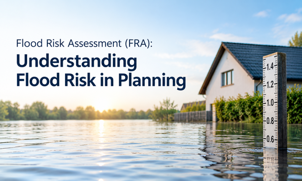
Flood Risk Assessment (FRA): Understanding Flood Risk in Planning
Flood Risk Assessment (FRA) Key Takeaways
Get the planning permission you need with a professional Flood Risk Assessment (FRA). Whether your site is in Flood Zone 2 or 3 or covers more than one hectare, our consultants prepare reports based on your site’s needs. These reports help meet the requirements of the Environment Agency and local planning authorities.
We manage every step, from flood modelling to drainage plans, to help your project meet National Planning Policy Framework (NPPF) requirements. Our flood risk assessment services cover the whole UK. We also offer a money-back guarantee if planning permission is refused based on our advice. Request your free quote today and take the next step with confidence with our Flood Risk Assessment Consultants.
Expert Flood Risk Assessment Services
When planning a project, flood risk is something that needs to be taken into account in case there is a possibility of it being affected by such floods. The same need arises in cases where construction might increase the possibility of flooding.
Flooding can come from several sources, including groundwater, reservoirs, surface water, rivers and the sea. In areas at risk, the local planning authority or Lead Local Flood Authority (LLFA) may require a flood risk assessment (FRA) to identify potential hazards and support the planning application.
What Is a Flood Risk Assessment?
A flood risk assessment is a site-specific report that identifies possible flood hazards before development begins. It uses available records, existing flood data, and site information, including flood depths and water levels, to understand the risks.
These assessments, with the help of top flood risk assessment services, help developers meet local and national planning rules. They also support compliance with the National Planning Policy Framework (NPPF) and Planning Practice Guidance while considering the potential effects of climate change on future flood risks.
Flood Consequence Assessment (FCA) Explained
Flood Risk Assessments (FRAs) are used across the UK, with different authorities responsible for each region. These include the Environment Agency in England, Natural Resources Wales, the Scottish Environment Protection Agency (SEPA), and the Department for Infrastructure (DfI) Rivers in Northern Ireland.
In some regions, a Flood Risk Assessment (FRA) is referred to as a Flood Consequence Assessment (FCA). England follows the National Planning Policy Framework (NPPF) and Planning Practice Guidance, which cover development, flooding, and coastal erosion. An FCA involves more detailed flood risk analysis than a standard FRA. Its report examines mitigation options and recommends measures to reduce future flood risks, and considers how extreme flooding could affect evacuation, public safety, and the resilience of the development.
When Is a Flood Risk Assessment Necessary?
A Flood Risk Assessment (FRA) is generally required when a development site falls within a flood zone identified on the Environment Agency’s planning maps. These maps show the likelihood of river or sea flooding. Flood Zone 1 has a low risk, while Flood Zones 2 and 3 indicate medium and high risks.
Typically, an FRA is required for locations in Flood Zones 2 or 3. It can also be required in Flood Zone 1 if the site is greater than 1 hectare, has surface water flooding or drainage issues, or is a change of use to a more vulnerable use. If the Local Planning Authority’s Strategic Flood Risk Assessment (SFRA) indicates that there are other flood sources that could impact the site, an assessment may also be required.
Who Should Consider a Flood Risk Assessment?
Beyond planning applications, a flood risk assessment can support insurers, lenders, land developers, property buyers and site search professionals. For example, an FRA can:
- Give insurers flood risk data, details of existing defences, and possible ways to reduce risks.
- Help lenders and developers understand remaining flood risks that could affect a project’s financial viability.
- Allow buyers and site finders to identify flood-prone land before investing.
We also provide assessments for different purposes beyond development projects. Contact us to discuss your requirements and receive a tailored quote.
Analysing Flood Risk for Development
Whether it’s a large commercial development or a small home extension, it’s crucial to identify potential flood risks. The next section outlines the role of a Flood Risk Assessment in informing planning decisions, technical evaluations and safety and compliance throughout the development’s life.
Flood Risk Assessment for Planning Applications
A flood risk assessment is an important part of the planning process, especially for sites in Flood Zones 2 and 3 or within a functional floodplain. Local planning authorities need clear information about possible flooding from surface water runoff, rivers, the sea, or groundwater.
An FRA helps applicants explain how their proposed development will manage flood risks, protect people on the site, and work alongside existing flood defences and drainage infrastructure.
Flood Risk Assessment Guide for New Developments
Flood Risk Assessment guidance can support different types of projects and site conditions, including:
- Developments That May Affect River or Coastal Flooding
- Small Projects in Flood-Prone Locations
- Sites Requiring Flood Prevention Measures
- Sites with Surface Water Drainage Constraints
- Developments for Vulnerable Uses
An FRA should follow the sequential approach by considering sites from the lowest to the highest flood risk. Flood Risk Assessment for Planning must also address any required exception tests and comply with the Local Planning Authority’s (LPA) flood risk management strategy.
Flood Risk Assessment for Successful Planning Submissions
Local planning authorities may only approve applications for flood-prone sites where the applicant can show that flood risks are managed for current and future conditions. This can involve identifying any remaining risks, evaluating the vulnerability of the development, and describing how the project will contribute to climate resilience and long-term flood protection.
An FRA should also describe the potential impacts of the proposed development on the surrounding area, such as any increase in surface water runoff and measures to minimise flooding. Flood Risk Assessment for Planning Consultants can assist in developing an appropriate drainage plan or in dealing with particular problems, such as flooding in the river and high groundwater levels.
Understanding the Flood Risk Assessment Process
A detailed flood risk assessment is conducted by a flood risk specialist for each assessment. The process typically involves the following steps:
- Checking the Site Location and Its Distance from Rivers or the Sea
- Reviewing Flood Maps and Historical Records to Identify River Flooding
- Examining Ground Levels and Site Topography
- Using Hydraulic Modelling to Understand How Rainfall May Affect the Site
- Reviewing Predicted Flood Levels for River, Coastal, and Surface Water Events
- Estimating surface water runoff and recommending drainage measures.
- Checking for Groundwater Flooding and Issues with Blocked Drains
- Evaluating the effects of flooding and determining evacuation needs
- Applying the Sequential Test and Exception Test Where Required
- Considering Climate Change and Flood Risks Throughout the Development
Initial results help determine whether additional investigations or assessments are needed. Other approaches include catchment analysis to understand how river channels influence flooding and an initial review to identify sources that need more detailed investigation. For planning applications, the assessment also considers whether the proposed development could increase flood risks in other areas.
Flood Risk Assessment Report
The consultant then produces a Flood Risk Assessment (FRA) report once the survey is finished. This document sets out the findings and information for the local planning authority to consider when assessing the planning application.
A typical FRA report will contain the site description, historical flood data, potential flood sources and pathways, ground levels, and topography. It also considers future flood risks associated with climate change, mitigation measures, the vulnerability of the development and drainage and flood protection features.
The report also provides an explanation of how the project complies with Planning Practice Guidance and local planning authority requirements. However, the final report should be submitted as part of the planning application for the proposed development. This assists in understanding flood risk management and monitoring during the project.
Flood Risk Consultants for Development Projects
Our flood risk consultants apply their expertise, experience and specialist tools to help development projects navigate the planning process. They analyse the information available, inspect the site, determine potential flood hazards, and suggest appropriate flood hazard mitigation strategies.
There are many projects that need an assessment once planning permission has been refused because of flood concerns. Others require a report that shows how the proposed development can contribute to broader objectives. We can evaluate low-risk and high-risk sites and offer guidance that is appropriate for each project.
A flood risk assessment may also be conducted as part of other site surveys. For example, a geo-environmental survey helps examine ground conditions, possible contamination, and drainage potential. Our contaminated land specialists can provide additional assessments to support a better understanding of the site.
Factors That Affect Flood Risk Assessment Costs
The price of a flood risk assessment depends on the site’s location, size, and complexity. A basic assessment for a low risk site in Flood Zone 1 will usually cost less than one for a site in Flood Zone 2 or 3, particularly if it has drainage issues or a higher risk of river or coastal flooding.
The total cost may also depend on the proposed development and the amount of assessment needed. With Flood Risk Assessment Consultants available across the UK, travel and accommodation expenses can be avoided, helping keep the overall cost of a flood risk assessment affordable.
Find Flood Risk Assessment Consultants Nearby
Whether you are planning a small home extension or a large development, we can help with flood risk concerns across sites in different locations. Our services cover properties in Flood Zones 2 and 3, including areas with higher flood risks. We aim to provide a timely response and competitive prices based on your site’s requirements.
Working with local consultants offering flood risk assessment services can simplify the process and provide expert guidance based on your site’s specific requirements. We work across the UK and provide assessments for a wide range of development projects. Contact our Flood Risk Assessment Consultants by phone, email, or through our contact form to request a free quote and decide how you would like to proceed.
Frequently Asked Questions
What Does a Flood Risk Assessment Report Include?
A Flood Risk Assessment report includes details about the site, possible sources of flooding, historical flood records, ground levels and drainage conditions. It also outlines suitable measures to manage flood risks and considers the potential effects of climate change. The findings help local planning authorities understand whether the proposed development can manage flood risks safely.
How Long Does a Flood Risk Assessment Take?
The time required depends on the site’s location, complexity and the information available. Simple sites may need less investigation, while the properties with higher flood risks may require detailed hydraulic modelling or additional surveys. Starting the assessment early can help avoid delays during the planning process.
What Factors Affect the Cost of a Flood Risk Assessment?
The cost of a flood risk assessment depends on the site’s size, location, flood zone and complexity. Additional investigations, hydraulic modelling, drainage issues, and climate change considerations may increase the price. Contacting a consultant with your site details and development plans can help you receive an accurate quote.