Flood Risk Assessment in Devon for Effective Flood Management
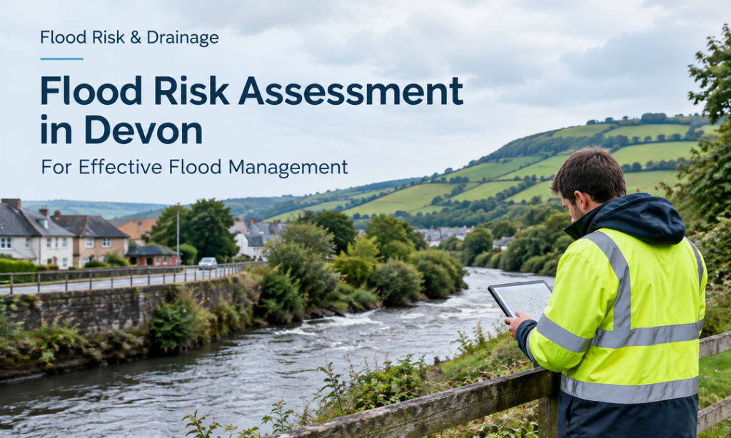
Steep catchments, rivers and an exposed coastline make flooding in Devon a concern for many properties and development sites. Different areas may face risks from surface water, groundwater, rivers, tides or coastal waves, requiring careful assessment of local conditions. A flood risk assessment examines these hazards and identifies appropriate measures to manage them. For planning and development, a Flood Risk Assessment in Devon can demonstrate that a site will remain safe without increasing flood risk elsewhere.
Understanding Flood Risk Across Devon
Devon is vulnerable to flooding from multiple sources, such as rivers, surface water, groundwater, and coastal conditions. There are multiple ways flooding can impact a site in Devon, and local conditions should be taken into account. Flooding in Devon can affect a site through more than one pathway, making local conditions important to consider. A flood risk assessment examines these sources, while a Flood Risk Assessment in Devon helps identify suitable measures for safer development.
- River Flooding: Heavy rain can cause rivers like the Exe, Otter, Taw and Dart to flood. The risk may be higher for properties located near these watercourses, especially in low-lying valley areas.
- Surface Water Flooding: When the amount of rain is too much for local drainage systems, water pools or runs over roads and properties. Steep areas can increase the speed of surface-water runoff.
- Coastal and Tidal Flooding: Locations around Devon’s coastline and estuaries can be affected by high tides, storm conditions and wave action. Coastal flood risks can also change as sea levels rise over time.
- Groundwater Flooding: Groundwater can rise and impact low-lying areas, basements and underground structures. This risk is not necessarily evident in river flood mapping and can also affect drainage or soakaway suitability.
Mapping Main Watercourses and Flood Sources in Devon
| Area | Main Rivers / Source | Dominant Flood Risk |
| Exeter & the Exe valley | River Exe, Creedy, Culm, Clyst | River and surface water |
| East Devon | River Otter, Sid, Axe | River, surface water and coastal |
| North Devon | River Taw, River Torridge | River and tidal (Taw–Torridge estuary) |
| South Hams | River Dart, Avon, Erme, Yealm | River and tidal estuaries |
| Teignbridge & the south coast | River Teign, Bovey | River, surface water and coastal (Dawlish, Teignmouth) |
| Mid Devon | River Exe, Culm (Tiverton, Cullompton) | River and surface water |
Devon’s Past Few Flood Events and Their Impact
Devon has experienced several significant flooding events in recent years. The following points to the vulnerability of Devon to floods related to rivers, surface water and storms.
- Axminster, Seaton and Devon Wide Floods, 20–21 October 2021: Heavy rainfall resulted in flooding across communities. Some of these areas included Axminster and Seaton, where the flooding was as a result of the river and surface water.
- Kingsbridge Flood Event, 4 June 2022: Kingsbridge was flooded due to heavy rain. The event emphasised the importance of local drainage systems and watercourses in causing flooding during periods of heavy rainfall.
- River Exe Floods, 12–14 January 2023: Heavy rains have led to flooding due to an increase in river water levels within the catchment area of the Exe. The flooding showed the importance of monitoring the rivers.
- Otter Valley Floods, 9 May 2023: The area experienced flooding due to the presence of heavy rains in the Otter Valley region. It demonstrated the fast reaction of the levels of surface water and rivers to the heavy rains.
- Storm Bert Floods, 24 November 2024: Floods affected Devon as a result of Storm Bert that caused flooding due to heavy rainfall. In addition to this, this was an example showing how people should get prepared for such weather situations.
- Storm Eowyn, 25-27 January 2025: Storm Eowyn brought adverse weather to Devon in January 2025, leading to some concerns about flooding in vulnerable areas.
When Is a Flood Risk Assessment Required in Devon?
The risk of flooding is not uniform throughout Devon; it will depend on the location, size and proposed use of a site. Understanding Devon floods and its requirements helps developers and property owners choose the right assessment or drainage strategy.
- Sites in Flood Zones 2 or 3: A site-specific flood risk assessment is usually required under the NPPF for developments in these areas, with the Environment Agency considering river and coastal flood risks.
- Large Flood Zone 1 Sites: For a Flood Zone 1 site measuring 1 hectare or more, assessment of all relevant flood sources, including surface water, is generally required.
- Surface-Water Risk: Flooding in Devon shown on the Flood Map for Planning can trigger a flood assessment or drainage strategy, including for some Flood Zone 1 sites.
- Major Developments: Developments with 10 or more dwellings, 1 hectare or more, or 1,000m²+ of floor space typically require a SuDS drainage strategy to manage runoff.
- Property or Insurance Concerns: If a property has a history of flooding devon, checking devon flood alerts and flood warnings devon can help identify ongoing concerns. A property-specific flood report may also provide useful evidence when flood risk affects an insurance decision.
Why Choosing the Experts for Flood Risk Management is Vital
- Understand Local Flood Sources: Devon has a range of terrain, rivers, coastal and drainage conditions. Professionals of Flood Risk Assessment in Devon understand how these factors contribute to flooding devon, allowing potential risks to be assessed according to the characteristics of the individual site.
- Provide Site-Specific Assessment: An experienced team can prepare a Flood Risk Assessment in Devon using relevant flood data, site levels, watercourses, drainage and other local factors, not just general flood-zone information.
- Identify Multiple Risks: Historical devon floods can be caused by various factors such as river, surface-water, groundwater or coastal flooding. The expert-led Flood Risk Assessment in Devon is an expert way through which experts believe could help to create a more good understanding of the site’s flood exposure.
- Support Planning Applications: Professional Flood Risk Assessment in Devon can provide the information needed by planning authorities and can help to illustrate how flood risks will be managed. This can help to manage technical needs and determine appropriate mitigation strategies.
- Recommend Practical Measures: Based on site conditions, experts can recommend top drainage, flood-resilience and surface-water management measures. The professional Flood Risk Assessment in Devon contribute to the practical, proportionate and appropriate nature of proposed solutions in relation to the long-term needs of the development.
Final Words
To sum up, being aware of devon flood alerts can ensure that the risks become known. Similarly, checking flood warnings devon provides timely information about potential hazards. Thus, combining reliable alerts with suitable experts for Flood Risk Assessment in Devon and taking flood resilience measures can help reduce disruption, protect properties and support safer decisions for future.
FAQs
Why is Flood Risk Assessment in Devon important for planning applications?
A Flood Risk Assessment in Devon identifies the types of flooding that could affect a proposed development. A detailed Flood Risk Assessment in Devon can also recommend suitable measures to reduce risk and support planning decisions.
How can flooding in Devon affect a proposed development site?
Flooding in Devon can result from rivers, surface water, groundwater, tides and coastal conditions. Understanding flooding in Devon helps determine whether additional assessment, drainage measures or other mitigation may be required.
Does every property or development in Devon require a flood risk assessment?
No. Requirements vary by location, development size and identified risks. A flood risk assessment may be required when planning rules identify a potential flood concern.
Can flood risk information help when buying property or arranging insurance?
Yes. A property-specific assessment can provide more detailed information where flood concerns have been identified. Flood Risk Assessment in Devon requirements can be used to determine if further investigation is needed.
When is a flood risk assessment required for a development in Devon?
A flood risk assessment is generally required for developments in Flood Zones 2 and 3. Larger sites in Flood Zone 1 may also need a flood risk assessment to examine surface water and other potential flood sources.