-
Pingback: Flood Risk Assessment (FRA): Understanding Flood Risk in Planning | Flood Risk & Drainage Solutions
Flood Map for Planning for Accurate Flood Risk Assessment
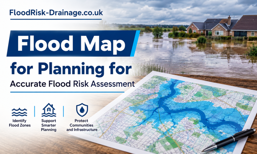
Before starting any development project, understanding potential flood risks is very important for making any vital decisions. A flood map for planning is useful in identifying areas that could be subjected to various forms of flooding. Proper knowledge of the flood zone would help in determining the best sites to choose for construction as well as development plans. Early flood mapping also helps developers recognise possible constraints and create projects that better respond to existing conditions.
What Is a Flood Map for Planning?
A flood planning map is a planning tool that indicates flood zones that may be affected by various types of floods. This tool is used by planners to make development plans that consider potential flood risks. A mapped flood zone can indicate varying levels of risk and support decisions about site suitability, building design, drainage measures, and further flood risk assessments for proposed development projects.
Top Benefits of Using Flood Maps Early
Early flood mapping allows developers to be aware of the risks and site limitations that may exist and, hence, make better decisions. Here are its benefits:
- Better Site Selection: Flood information should be reviewed prior to land purchase or development to identify constraints. A flood map for planning provides a preliminary indication of areas that could be flooded. This enables developers to compare sites and determine if further investigation is required.
- Improved Development Planning: Early flood information helps to make more practical decisions regarding building location, access routes, landscaping and drainage. Knowing the flood zone will enable teams to adjust proposed layouts and take appropriate action to address potential flood risks.
- Reduced Project Delays: Early identification of flood-related constraints can minimize unexpected changes in later planning stages. Developers can schedule required surveys and assessments in advance by allowing the project to move forward with a better understanding of the needs.
- More Effective Risk Management: Flood mapping can be helpful in identifying areas that may need extra protection or design considerations. Moreover, flood warnings map can also contribute to awareness of potential flood events and to emergency and operational planning.
How Flood Maps Influence Site Selection
Flood maps enable comparisons, encourage investigations, and allow developers to formulate development plans according to the nature of the site in terms of floods.
- Identifying Potentially Risky Areas: Flood maps are used to assist developers in determining if a proposed site is likely to flood. Early review of mapped information enables teams to identify areas that may have further planning, construction or drainage issues before choosing a site.
- Knowledge of Flood Risk Categories: The flood zone of a site can be a valuable source of information regarding the potential for flooding. This information can be used by developers to compare locations and to decide if further investigations or specialist assessments are warranted.
- Facilitating better site comparisons: Development teams can use flood information to compare potential sites based on more than just cost, accessibility, and available space. A site that is less constrained by flood issues can provide a simpler starting point for planning and design.
- Preparing for Potential Flood Events: A flood warnings map can be helpful in providing information on areas that could flood and help with early awareness. This information should be taken into account when assessing the accessibility of a site and the resilience of proposed development.
- Considering Drainage Requirements: The uk drainage solutions needed for a development can be affected by flood risk. A review of the drainage conditions, existing drainage, surface water pathways and local characteristics can assist developers in planning for the right drainage at an early stage.
Role of Flood Risk Assessments Alongside Flood Maps
Maps provide useful preliminary information, but detailed assessments provide information on conditions specific to the proposed project. Let’s understand its role:
Understanding Initial Flood Risk
A flood map for planning provides an early indication of areas that may be exposed to flooding. This information can be used to understand the possible constraints in the initial planning phase. Mapped information, however, may not reflect all site-specific factors, and additional assessment may be helpful for more detailed decision-making.
Examining Site-Specific Conditions
A flood zone may refer to the overall flood hazard or flood hazard category of a site. A flood risk assessment may consider ground levels, watercourses, existing structures, drainage conditions, and proposed development layouts. This extra information is used to help identify the potential for flood risk at the particular site.
Supporting Emergency Planning
Flood warnings map can be useful to have to provide information on potential flood events and areas that may need to be more aware of. This information can be used in conjunction with a detailed assessment to inform thinking on safe access, evacuation routes, emergency procedures and the resilience of proposed development.
Improving Drainage Planning
Changes in development can alter water flow over a site. Existing drainage networks, surface water pathways and local infrastructure are assessed to identify potential issues prior to construction. When considering drainage requirements in conjunction with flood data, this can help to identify appropriate drainage strategies and minimise the risk of inappropriate water management.
Supporting Better Development Decisions
Flood risk assessments provide a more detailed basis for design and planning decisions. They can assist developers in identifying potential constraints, assessing mitigation strategies and adjusting layouts as needed. The use of flood maps as a first step, supplemented by site-specific investigations, provides a more comprehensive strategy for flood risk management during the development process.
Final Words
To sum up, the flood warnings map offers valuable information concerning the flood risk and helps make good decisions. Combining flood information with detailed assessments can improve project understanding and design. Effective uk drainage planning should also consider local conditions, existing infrastructure, surface water pathways, and good measures to manage flood risks.