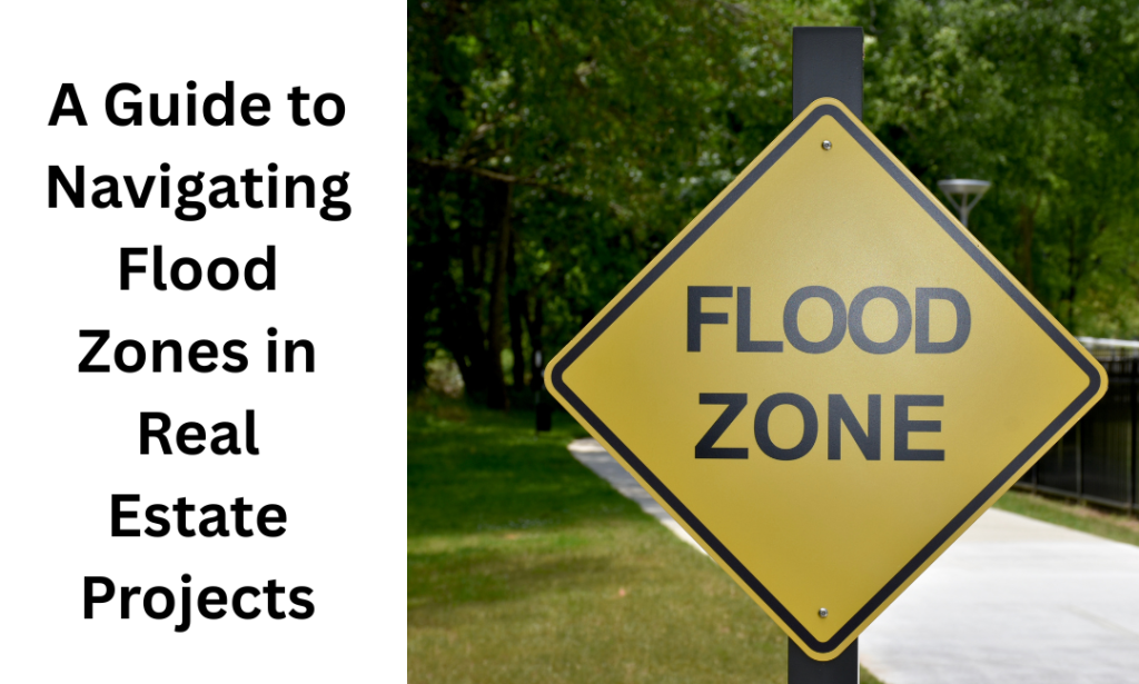
A Guide to Navigating Flood Zones in Real Estate Projects
Flood map planning plays a vital role in shaping modern construction projects. These maps enable experts to make safer and smarter decisions before construction by identifying areas where flooding is a potential threat. They affect site selection, building design, drainage systems and long-term safety measures. Knowing the risk of flooding early means fewer losses, safeguards investments, and meets local requirements. In the face of shifting climate patterns, flood maps should also be considered when planning a building project responsibly and sustainably.
Understanding Flood Map Planning and Why It Matters
The Flood Map for Planning is a screening map produced by the Environment Agency to help determine whether a Flood Risk Assessment (FRA) is required for a planning application. It doesn’t identify the extent of flood threat to a site but merely suggests that a more detailed flood risk assessment is needed. Because the Flood Map for Planning is based on strategic-scale modeling, it may not capture every local feature that could influence flooding. These areas can be identified and planned to prevent infrastructure damage and ensure that the developer implements safety measures before work begins.
- Screening Mechanism: It serves as a preliminary indicator for developers, not a definitive measure of localized flooding risk.
- Triggers Assessment: Determines whether a formal Flood Risk Assessment (FRA) must accompany a local planning application.
- Agency Framework: Managed and regularly updated by the Environment Agency to ensure the regulatory control of safe land use.
- Prevents Blindsides: Identifies water hazards early in the design process, avoiding costly structural changes later.
- Informs Construction: advises local authorities on areas requiring the use of resilient construction materials and improved drainage.
How Flood Mapping Zones Influence Development Planning
Flood zones are based on modeling that incorporates hydraulic data and historical flood records. These zones play an important role in shaping development proposals and determining the type of construction good for a site. The size of the land and the flood zoning category will help determine the required assessment level.
At times, it is necessary to conduct flood hazard assessments to determine the risks posed by flooding on the land. For example, higher-risk zones may require raised floor levels, flood-resistant materials, or even avoidance of certain types of development. Other areas may require a sequential test or an exception test to approve development on the site. It is important to note that flood map planning zones are crucial for development planning.
| Flood Zone | Essential Infrastructure | Highly Vulnerable | More Vulnerable | Less Vulnerable |
| Flood Zone 1 | Development Allowed | Development Allowed | Development Allowed | Development Allowed |
| Flood Zone 2 | Development Allowed | Exception Test Required | Development Allowed | Development Allowed |
| Flood Zone 3a | Exception Test Required | Development Not Allowed | Exception Test Required | Development Allowed |
| Flood Zone 3b | Exception Test Required | Development Not Allowed | Development Not Allowed | Development Allowed |
- The Flood Map for Planning in England divides land into three flood zones:
- Flood Zone 1, Flood Zone 2, and Flood Zone 3 under National Planning Guidance.
- Flood Zone 1 has less than a 1 in 1,000 annual chance of river or sea flooding and is considered low risk.
- Flood Zone 2 has a 1 in 100 to 1 in 1,000 chance of river flooding or a 1 in 200 to 1 in 1,000 chance of sea flooding and is considered medium risk.
- Flood Zone 3 has a 1 in 100 or greater chance of river flooding or a 1 in 200 or greater chance of sea flooding and is considered high-risk.
- Flood Zone 3 is further split into 3a and 3b, with 3b designated as the functional floodplain and subject to stricter controls.
When Is a Flood Risk Assessment Required in Flood Zone 1?
In Flood Zone 1, a flood risk assessment may be required, depending on site-specific conditions. The low-risk designation of Flood Zone 1 does not necessarily mean that all watercourses in the vicinity are in Flood Zone 1. Areas identified as low risk on the Flood Map for Planning may not appear on the map, and localized flooding may affect the area.
While developing near water, if you receive professional advice, you will be able to ensure your development is safe, compliant, and progresses through the planning process. A professional flood risk assessment helps identify any hidden or localized risks that are not shown on national mapping tools. Seeking expert advice early can reduce delays and improve the chances of approval.
Can Flood Maps Be Incorrect? Know Flood Zone Discrepancies
Flood zones are developed based on large-scale information and can sometimes fail to reflect on-the-ground conditions. This may lead to the Flood Map for Planning being classified incorrectly or misleading in some areas. Some discrepancies may be due to small watercourses, drainage systems or local topography that are not fully identified.
If your site appears strange and is not properly mapped, professional advice will help determine the real flood risks. It’s very important to be aware of these constraints, as they can cause planning problems and help you ensure your development is measured with the best available data. Thus, professional guidance ensures that any inconsistencies are properly identified and addressed early in the process.
Final Words
To conclude, flood map planning is an important component of contemporary construction, as it helps reduce risk and ensure safety. Since flood maps help determine areas for building construction, safety standards are increased, making buildings better prepared in the event of floods. Consequently, incorporating information from the flood maps in the construction process is very important.
This is a crucial reminder that the Flood Map for Planning acts as a screening tool rather than a definitive guide to localized risks. I appreciate how the article highlights that relying solely on strategic-scale modeling can miss specific site features, making detailed FRAs essential for sustainable infrastructure planning. Navigating these complexities early on is clearly the key to safeguarding investments against shifting climate patterns.
It’s spot on that the Flood Map for Planning acts primarily as a screening indicator rather than a definitive measure of localized risk, especially given how strategic-scale modeling can miss specific site features. You’re right that catching these nuances early through formal FRAs is crucial for safeguarding investments, particularly as we adapt to shifting climate patterns and the need for more sustainable drainage solutions.
You highlighted a crucial distinction often missed: the Flood Map for Planning is a strategic screening tool rather than a definitive measure of local flood risk. This nuance really underscores why investing in a detailed Flood Risk Assessment early on is essential for sustainable site selection. It’s a smart reminder that relying solely on agency maps without deeper investigation can overlook specific site vulnerabilities.