-
Pingback: Flood Risk Survey to Help You Buy Property with Confidence | Flood Risk & Drainage Solutions
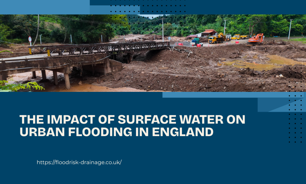
The Impact of Surface Water on Urban Flooding in England
Surface water flooding, triggered by heavy rainfall and limited drainage capacity, is now emerging as a key urban risk. According to recent research by the National Housing Federation, based on Environment Agency data, there appears to be an increasing trend in the flood risk in England’s urban areas. It has been found that approximately 839,000 properties are at high risk of surface water flooding, with a frequency of more than once in every 30 years.
How Surface Water Has Become Vital Factor in Urban Flooding
The significance of surface water flooding has been rising, mainly due to interactions between rainfall and the highly developed environment. Surface water flooding differs from river flooding in that it is unpredictable and associated with heavy rain showers that exceed the drainage capacity of the system. Below are some reasons why this form of flooding is becoming increasingly important in urban areas.
- Excessive Rainfall That Harms Drains: Urban flooding occurs when rainfall exceeds the capacity of the city’s drainage systems, since most systems were not designed for such high volumes.
- Impacts of Hard Surfaces in Cities: Most cities have many paved surfaces, such as concrete and asphalt, as well as rooftops that prevent water from seeping into the soil. This causes high levels of surface runoff.
- Inadequacy of Current Drainage Systems: Existing drainage systems may not be adequate to handle rainfall as some drains are old and others cannot cope with heavy rain, leading to overflow and flooding.
- Unpredictable and Localised Flooding Patterns: Surface water flooding does not have defined floodplains, unlike river flooding. This type of flooding may occur abruptly at unanticipated sites, even in regions that do not fall under any known flood zones.
- Effect of Urban Development and Land Use Changes: Urban expansion reduces green spaces and also changes natural water flow paths. As development increases, runoff becomes faster and more concentrated, increasing the likelihood and severity of surface water flooding in cities.
- Reduced Natural Absorption Due to Loss of Green Space: The growth of cities involves the transformation of vegetative cover into urban settlements with concrete surfaces. As a result, natural rainfall absorption is hindered, as most of the area covered by the green space has been converted to hard surfaces.
Understanding Urban Flood Risk in England Through Data
The flood risk in England’s urban areas is now being studied through data analysis to emphasise that property vulnerability is unequally distributed across the country’s urban constituencies. National Housing Federation findings show that high-risk properties are heavily concentrated in urban constituencies, particularly in areas with dense housing and older infrastructure. Some of these constituencies are Thurrock, South Basildon and East Thurrock, Bootle, Sefton Central, Southport and some London constituencies like Hackney, Barking, and Tottenham.
- The high-risk properties cluster around certain constituencies in urban areas
- The areas of Thurrock and London have relatively high risks
- Risk levels in some constituencies reach as high as 29% of homes
- Dense housing and limited green space increase vulnerability
- Flood data must be analysed carefully due to the models used
The Top Reasons Behind the Increase in Urban Flood Risk
There have been increased risks of urban flooding in the UK due to environmental changes, urban development, and improved flood modelling technology. The following sections give an insight into the drivers of this trend.
Increased Intensity of Rainfall Events
The increased frequency of intense rainfall is one of the driving forces behind the rising risk of urban flooding. Heavy rains have strained drainage systems beyond capacity, resulting in flooding in urban centres.
Increase in Impermeable Areas
Due to urbanisation, many impermeable areas have been added, including streets, rooftops, driveways, etc. The presence of such impervious areas impedes water infiltration, leading to increased runoff into the drainage system.
Stress in Older Drainage Systems
In the past, many drainage systems in the UK were built with a lower population and less severe climatic conditions in mind. However, in today’s times, these systems are under severe pressure.
Enhanced Modelling of Flood Risks and Accurate Data
The recent development of national flood modelling has enhanced how risk identification is conducted. Accurate terrain information, improved surface water modelling, and updated datasets have uncovered risks that were once under-estimated, resulting in increased exposure levels.
Why Surface Water Risk Has Outpaced Current Planning Policy
Planning policy in England has historically been better suited to managing river and coastal flood risk because clearly defined flood zones provide a structured basis for assessment. Surface water flooding is more complex because it depends on an area’s topography, drainage systems, and water movement within a site. Although national planning policy statements have emphasised the importance of surface water flooding, implementing it is not easy.
Therefore, implementing policies is also more difficult for surface water flooding, particularly where risks fall outside mapped floodplains. Responsibility is shared among many authorities, including Lead Local Flood Authorities and the Environment Agency, leading to the fragmented decision-making and the inconsistent outcomes in managing urban flood risk.
Development Implications in Flood-Prone Urban Areas
For developers, landowners and project teams, flood risk is no longer limited to mapped Flood Zones. Moreover, surface water flooding in cities is increasingly determined by local factors, necessitating early evaluation to prevent complications.
- Surface flooding in urban areas largely depends on ground elevations and surface flow pathways. Minor differences in the terrain can have a big effect on how water flows and where it collects during heavy rains.
- Existing drainage networks tend to constrain development opportunities. When drainage capacity is inadequate, surface water will accumulate rapidly, posing safety and development approval risks.
- Impermeability, site layout, and surface water storage affect runoff. Flood risks should inform the development process at an early stage.
- Early identification of surface water restrictions allows for avoiding costly changes to plans that could otherwise create problems down the road.
- England’s surface flooding problem has become more pronounced than riverine flooding in recent years, making surface flooding a critical element of contemporary flood risk assessment.
Final Words
To sum up, mapped flood data is only the starting point in understanding the site-specific risk. Risk assessment for planning purposes ensures that development follows policy and drainage guidelines, whereas risk assessment for property purchase confirms about the risk level at that specific site. However, as surface water flooding becomes more prominent, early technical evaluation is essential, since real risk often depends on detailed local conditions rather than national datasets alone.